Cadastral surveys
This is what is also referred to as Title Survey. It is done to create or to define the limitations of a title, and to determine a unit suitable for transfer.
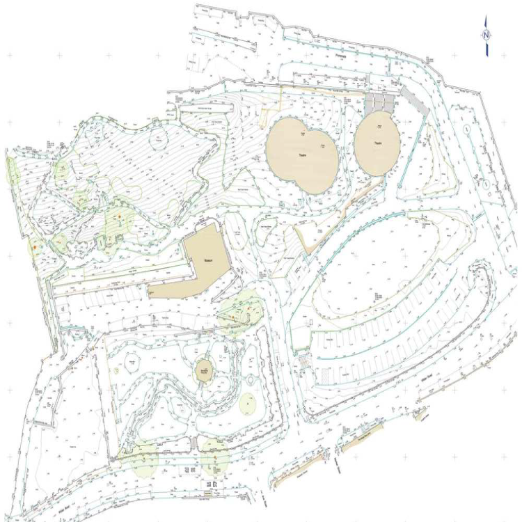
Topographical Survey
This is accurate depiction of a site for 3-D ground modelling and visualizations. The purpose of this, is to gather spatial information relating to the site (natural and man-made land features).
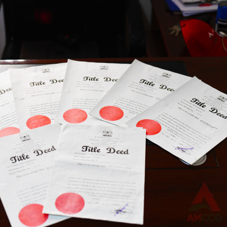
Title Processing
We know land matters probably better than the back of our hands. When you need to buy, sell or bequeath someone some land, we are the experts to walk with and avoid any mishap
Beacons re-establishment
Geofix Survey Systems offers services such as beacon establishment, boundary mapping among others in accurate and dependable manner

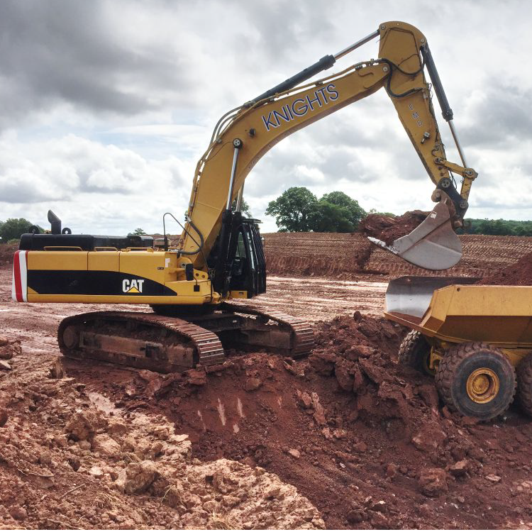
Engineering surveys
Geofix Survey Systems is among the few surveying firms in Kenya offering GIS and Mapping services. Our GIS equipment is latest technology to handle type
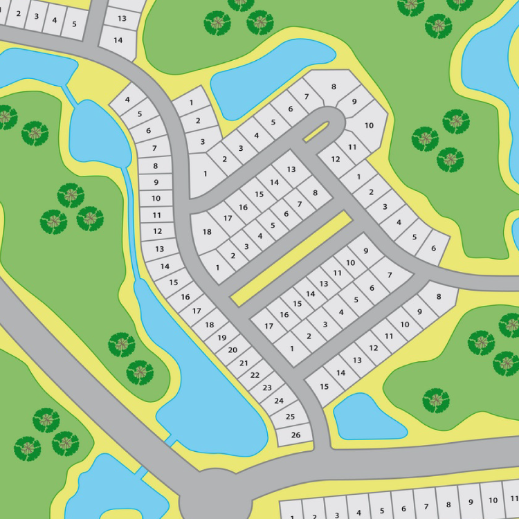
Land subdivision
Geofix Survey Systems Land Surveyors offers services such as beacon establishment, boundary mapping among others in accurate and dependable manner
GIS mapping
Geofix Survey Systems is among the few surveying firms in Kenya offering GIS and Mapping services. Our GIS equipment is latest technology to handle types of terrains and land sizes
Land partition and amalgamation
Land partition is the division of any land, other than buildings held under single ownership, into two or more parts while Amalgamation is the combining two or more adjoining parcels with different titles under single ownership into one title.
Setting out and earth works
Earthworks includes but is not limited to the alteration of the contours of land by moving, placing or replacing earth, or by excavation, cutting, filling or backfilling;